Land Reclamation
The Promontory @Marina Bay
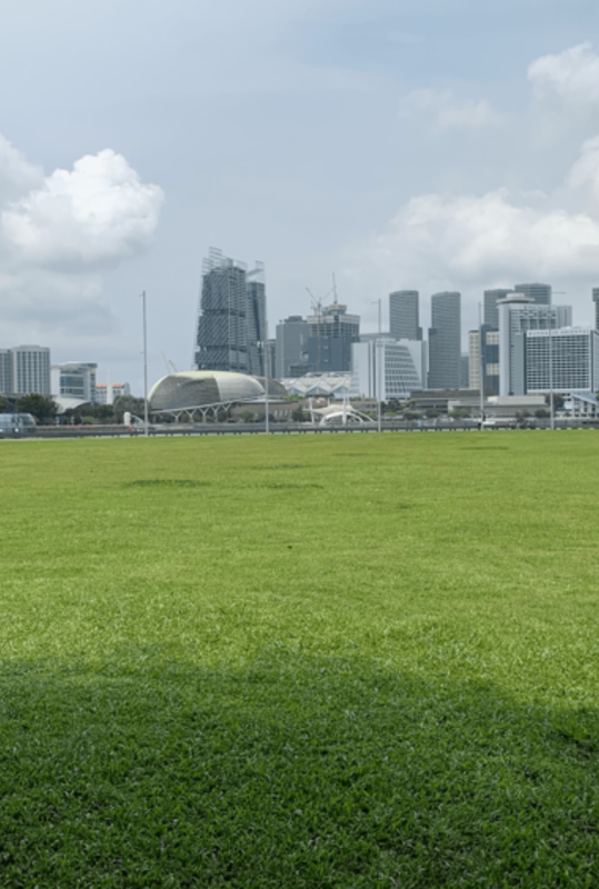
Being a small country, Singapore needed to find ways to expand its land space in order to keep developing and growing. The earliest recorded geographical survey of Singapore was in 1960 and Singapore measured approximately 580 sq. km. Today, that has grown to about 728 sq. km. This is due to a process known as land reclamation. New shorelines are artificially constructed out at sea and filled with sand. The earliest known land reclamation project was along Singapore River in the early 1800s and original coastline of Singapore once sat on the Padang! If you are looking out at the waterway, this would mean that everything to your left would be where the original shoreline was. Everything else, including the area you are standing in, is reclaimed land added in the late 1990s for the development of the Marina Bay Area.